Digital Weather Forecast
Digital Weather Forecast
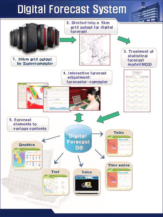
The KMA Digital Forecast System provides the detailed, quantitative weather information up to 48-hour period at 3-hour interval. This easy-to-process information is available in a variety of forms such as graphic, table, text and voice.
| Forecast element |
Air temperature (every 3-hour/max./min. temperature), rainfall probability, sky cover, probability/type/amount of precipitation, relative humidity, wind direction/velocity, significant wave height, and snow depth. |
|---|---|
| Forecast projection |
Up to 48-hour period at 3-hour interval |
| Coverage | The weather conditions are forecasted on the district scale dividing the whole Korean peninsula and the surrounding sea into a 5km grid. |

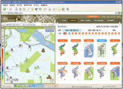
In connection with GIS(Geographic Information System), the Digital Forecast System displays twelve weather elements in the graphic forms on the map. The most-updated forecast content offered by this system is regionally searchable and magnifiable/reducible images on the map.
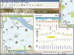
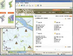
In addition, the forecast data are displayed for the designated period at the point specified on the map. Even the data in tabular form can be numerically downloaded and reprocessed for the user's convenience. The forecast content is also available in the summarized text and voice for easy understanding by the general public accustomed to the conventional forecast form.
 Graphic
 Time series
 Text / Voice


